Press kit
mapagalicia.es
In two lines, to copy
mapagalicia.es is an interactive map bringing together 34.957 places of Galician heritage —churches, stone crosses, hillforts, dolmens, beaches, lighthouses, manor houses and waterfalls— each with its history, its dates and its photos, in ten languages. It is made with open data and maintains itself.
Figures
| Churches, chapels and shrines | 7180 |
| Nature (waterfalls, hills, protected areas) | 5191 |
| Stone crosses and souls' niches | 3637 |
| Hillforts and Roman remains | 2980 |
| Dolmens, barrows and petroglyphs | 2317 |
| Beaches and islands | 1310 |
| Castles, manor houses and fortresses | 1288 |
| Ports, lighthouses and sea | 1342 |
Figures taken from the catalogue itself as this page loads. They are not estimates.
Where the data comes from
Wikidata (CC0), OpenStreetMap (ODbL), Wikipedia and Wikimedia Commons (CC BY-SA) for the places, the texts and the photos. NASA FIRMS for the heat spots, GBIF and iNaturalist for the cetacean sightings, Open-Meteo for the sea. The Galician press, over RSS, for the place of the day. All open and all credited in licences.
What this map is NOT
- It is not an official inventory. It does not replace the Catalogue of the Cultural Heritage of Galicia and has no administrative value whatsoever.
- «No photograph» means no free photo in the open archives (Wikidata and Wikimedia Commons). It does not mean nobody ever took one.
- The documentation percentage of a municipality does not judge it. It measures how much we know about it, not how much it has or how well it looks after it.
- There are errors. These are 30,000 entries built on third-party data: there will be misspelt names, drifted coordinates and photos that are not of the exact place. Each entry says so when the photo may not be of it.
Images to publish
Screenshots of the site itself, free to illustrate a piece about the project. The photographs of the monuments inside come from Wikimedia Commons and have their own authorship and licence, stated on each entry.
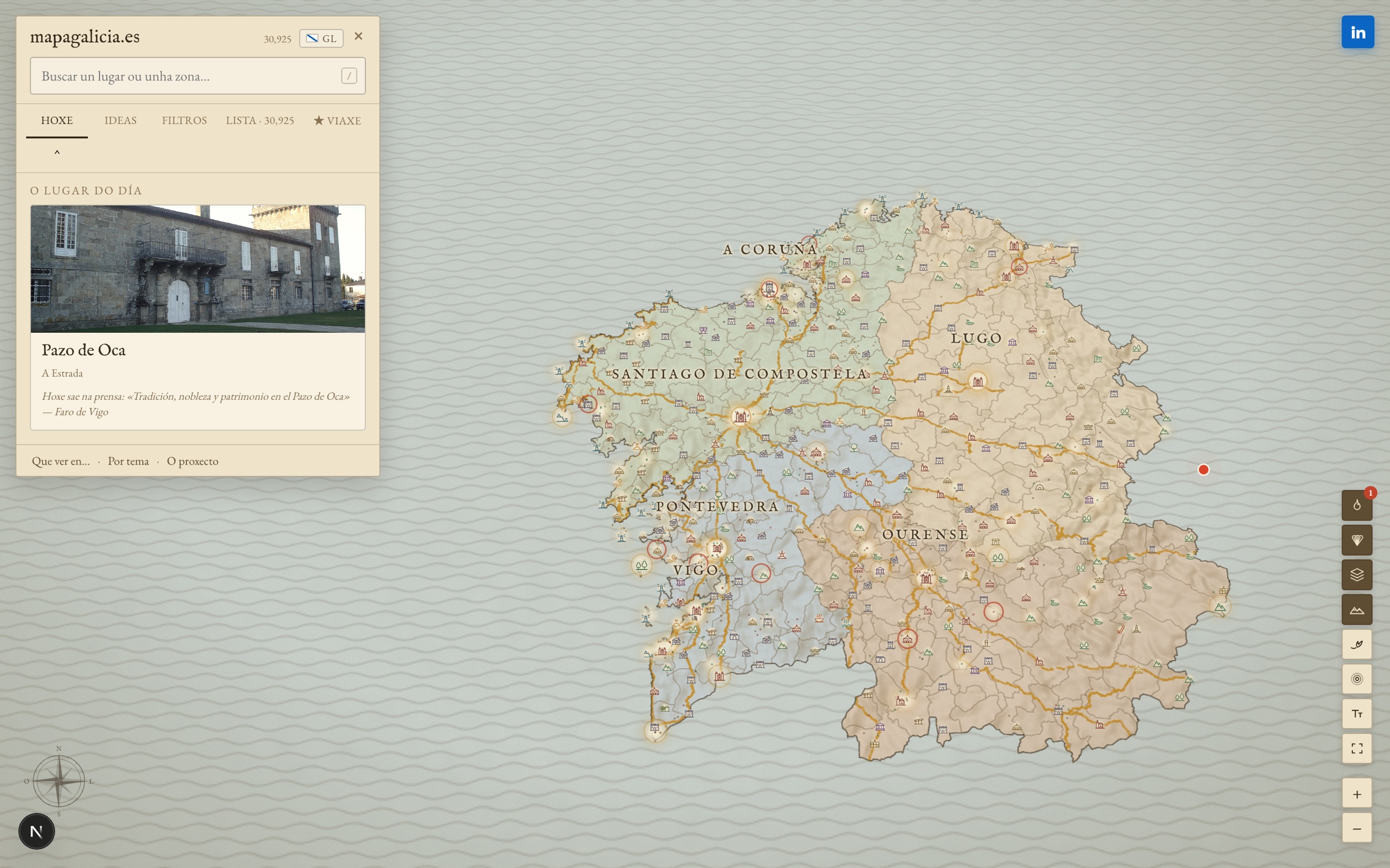
- The whole map, with the four provinces (mapa.jpg)
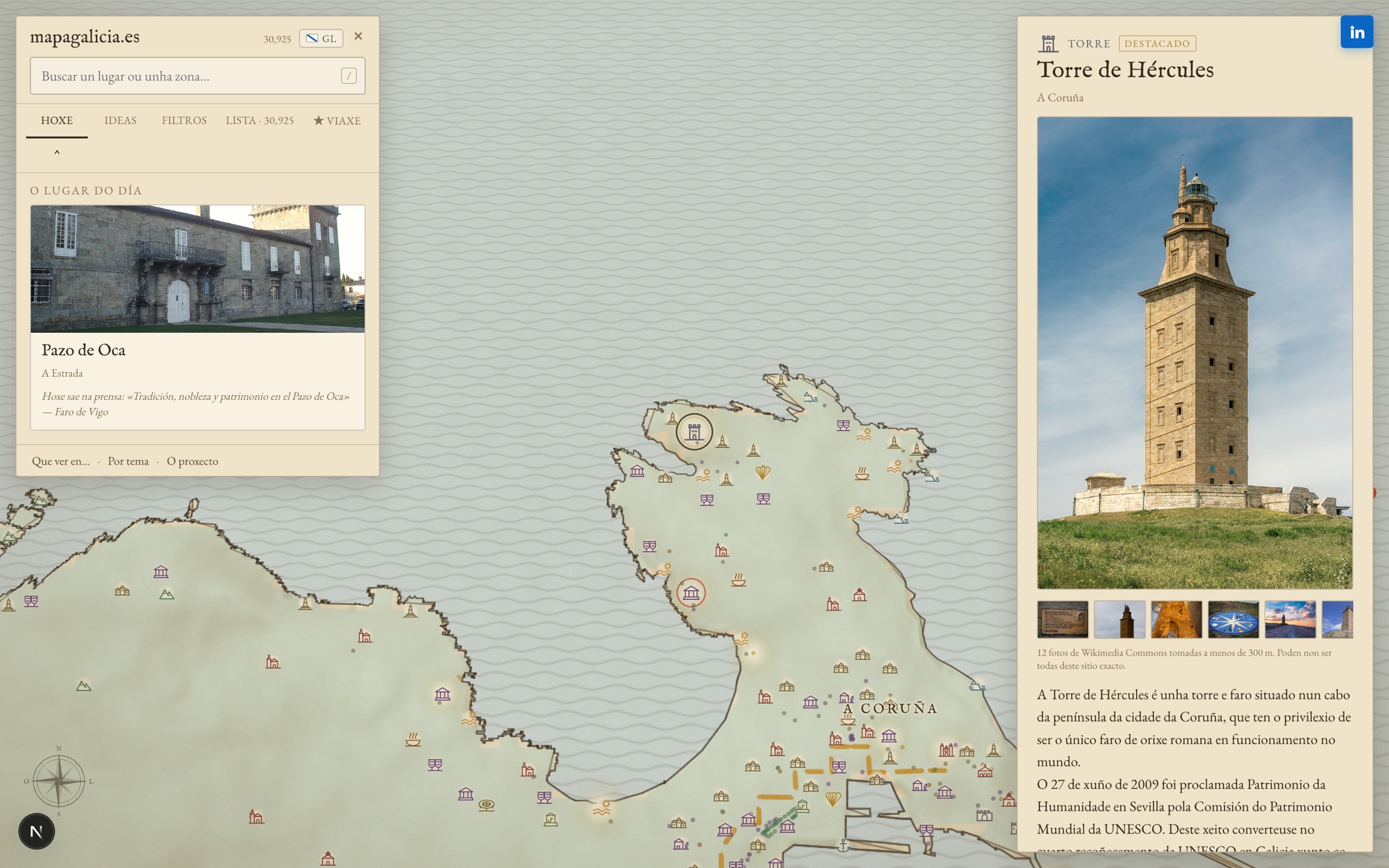
- A single place's page: Tower of Hercules (ficha.jpg)
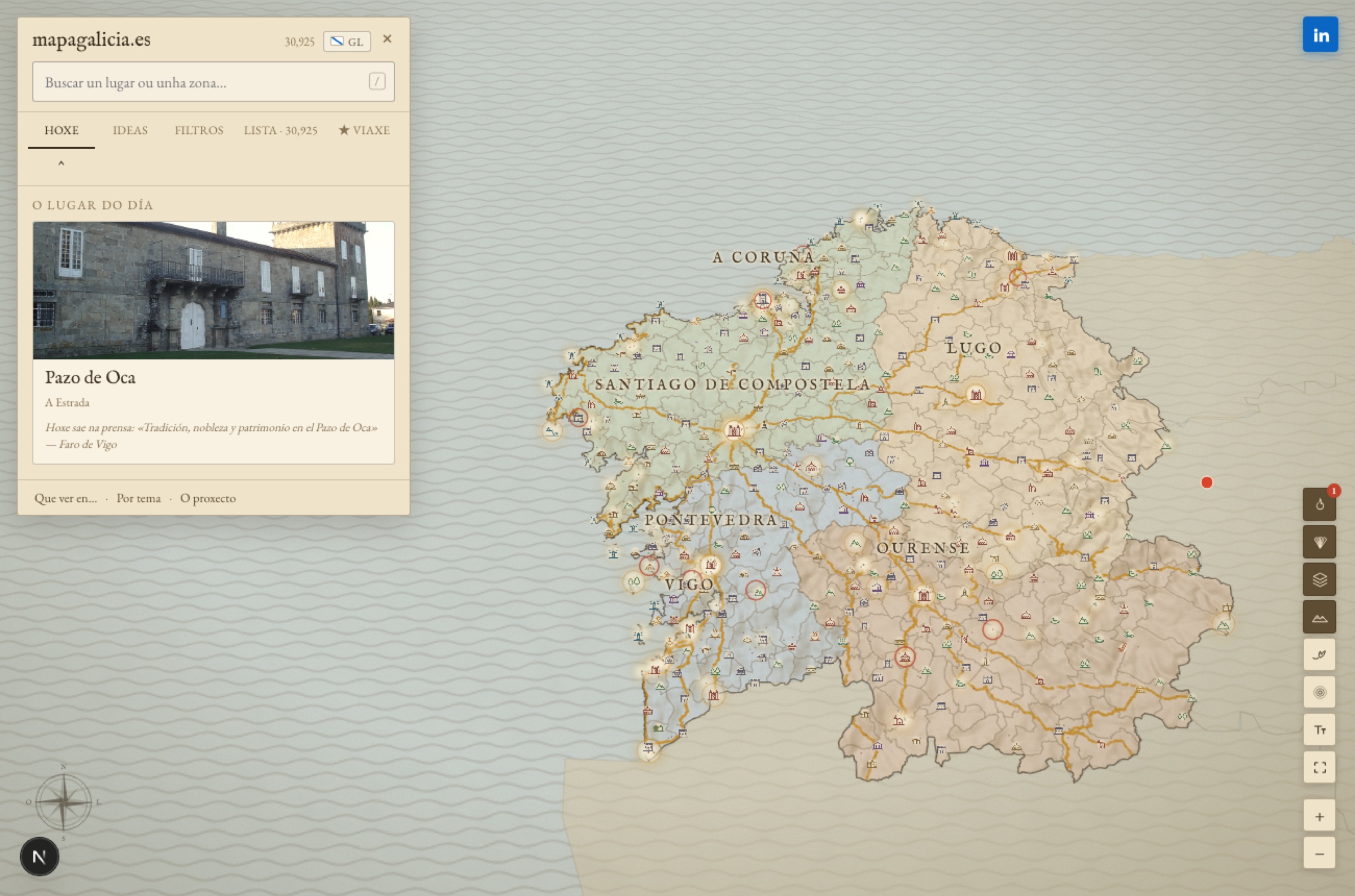
- Galicia in detail against a blank Iberian Peninsula (peninsula.jpg)
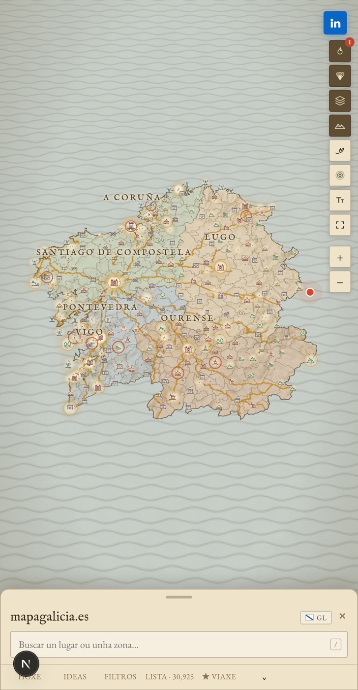
- On mobile (movil.jpg)
Where it has been covered
The pieces published so far, with their date and a link to the original.
La Voz de Galicia · · Pauli González
Miguel se cansó de hacer siempre lo mismo y encontró 33.000 opciones en Galicia
It appeared in print: Ya Es Sábado, page 32.
Radio Galega · A Tarde ·
Entrevista a Miguel Gamboa en A Tarde, da Radio Galega
The station does not publish the episode at an address of its own; the full audio and the summary are on the interview page.
Quincemil (El Español) · · Paula Quintás
Un joven crea un mapa con el patrimonio de Galicia: «Si viene un japonés, quiero que use mi app»
The same text was also published in MSN España.
Contact
Miguel Gamboa Sánchez, author of the project. Information Systems engineer, from A Coruña.
miguelgamboasanchez@gmail.com
LinkedIn
Answered the same day. If you need a figure that is not here, a specific fact about a municipality or a screenshot of another part of the site, ask and it goes.